Pebble Beach Golf Course
A long day of driving took us a hundred miles south of San Francisco, via Santa Cruz and yet more Redwood forests, to the Monterey Peninsula. Monterey was once the capital of California under the Spanish, until it was superseded by Sacramento.
Pebble Beach
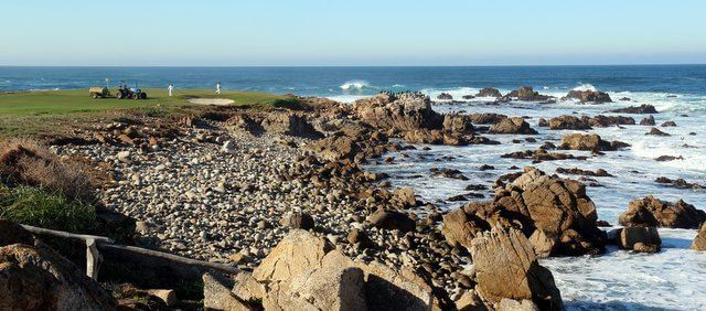
I’d previously heard of Pebble Beach from the golf course, as used in numerous world-class tournaments and lots of golf simulators. The course was designed by Jack Neville and Douglas Grant, and opened in 1919. His intention was to get the holes as close as possible to the rugged shoreline. This backdrop has made the course ideal for sports photographers, as golfers tee off with nothing in the background but the turbulent Pacific Ocean.
The green fees are in the hundreds of dollars per day, so I couldn’t justify playing a quick 18-holes there – instead a much cheaper way to get a look round the grounds is to take the 17-mile Drive.
Houses overlooking the golf course
House overlooking Spanish Bay
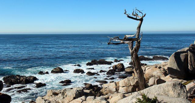
17-mile drive
Residents have a little sticker on their windshield to get in free, but the rest of us pay $9.75 a day per car. Bicycles are free, whilst motorbikes aren’t allowed. The guards give you a helpful map, and the remainder of the fee goes to the Pebble Beach Company to maintain the grounds. Pedestrians, or at least joggers, seem to be allowed, but there are few sidewalks.
The two recommended entrances to see the entire coastline are Pacific Grove Gate in the north, and Highway 1 gate to the south. The 17-mile drive route has a dashed red line on the road, so tourists don’t end up on the residential private drives.
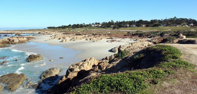
Spanish Bay on 17-mile drive
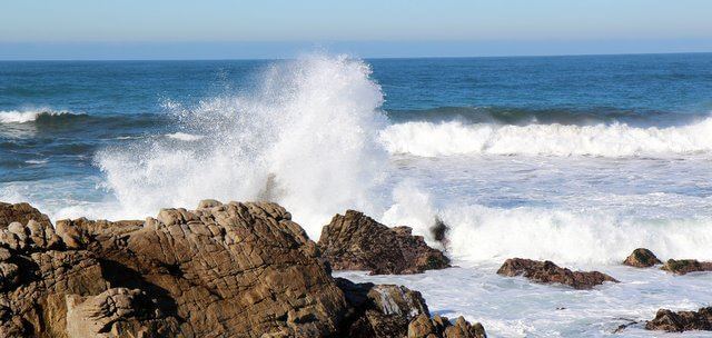
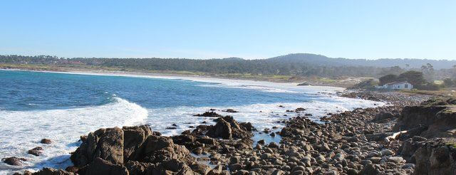
Point Joe
Slightly south of Point Joe, China Rock was home to Chinese fishermen in the late 1800s. It’s a much less busy place to stop than Spanish Bay.
Further south is one of the two large picnic areas with restrooms. The car park overlooks Bird Rock and Seal Rock, both of which are good for wildlife spotting.
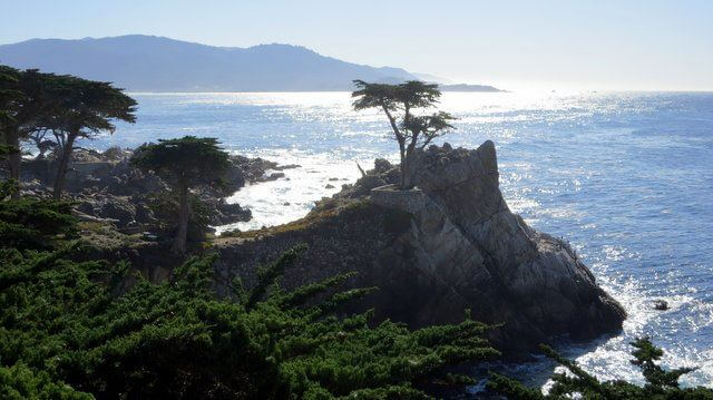
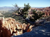
Lone Cypress at Pebble Beach
Lone Cypress
In the southwest of Pebble Beach is the iconic Lone Cypress. The Monterey Cypress only grows on the Monterey Peninsula, here and at Carmel.
In this area near the shore there are many houses, but they’re hidden from view by ancient trees.
The Lone Cypress was trademarked by Pebble Beach and is no longer accessible to the public. There’s also a ban on taking photos…
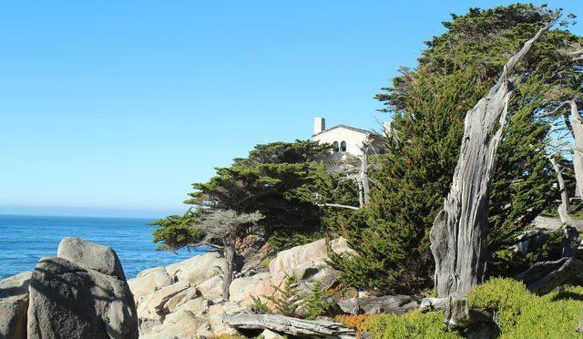
House tucked away behind the cypress trees at Pebble Beach…
… and the ocean view from the house above


Gorgeous! Guess that’s where those greens fees go to.
Didn’t realize the public could have such easy access so thanks for the share.
Pingback: Maria (@acceleratedstal)
Pingback: Mary and Al Hone (@DesertRavenArt)
Pingback: Edwina Parker (@YapaNow)
Pingback: The Traveling Fool (@thetravelfool)
I am looking to purchase Clint Eastwoods
CD about the History of the 17 Mile Drive
I had purchased this item by him many years ago on cassette, loaned it out & never got it back. Want it for my next trip to Monteray & Carmel.